
Mobile County ZIP Coverage
Mobile County ZIP geography stretches from Axis and Mount Vernon in the north to Bayou La Batre, Coden, and Dauphin Island on the coast. The 366 series covers the urban core and much of suburban Mobile, while 365 codes serve many outlying cities and communities. The table is a working orientation built from USPS facility evidence, municipal GIS, and Census ZIP principles. It is not a substitute for checking a specific address.
| ZIP Code | Areas Covered | Post Office | Notes |
|---|---|---|---|
| 36505, 36509, 36512, 36513, 36521, 36522, 36523, 36525, 36528, 36541, 36544 | Axis, Bayou La Batre, Bucks, Calvert, Chunchula, Citronelle, Coden, Creola, Dauphin Island, Grand Bay | Local USPS facilities | Calvert crosses the county line |
| 36560, 36568, 36571, 36572, 36575, 36582, 36587 | Mount Vernon, Saint Elmo, Saraland, Satsuma, Semmes, Theodore, Wilmer | Local USPS facilities | County and municipal jurisdiction varies |
| 36602, 36603, 36604 | Downtown, De Tonti, MLK, Midtown, Leinkauf | Mobile stations | Core city delivery areas |
| 36605, 36606, 36607, 36608, 36609 | South and Bayside, Loop and Bel Air, Crichton, Spring Hill and airport area, Cottage Hill | Mobile stations | 36608 uses multiple stations |
| 36610, 36611, 36612, 36613 | Prichard, Chickasaw, Plateau and industrial areas, Eight Mile and Kushla | Mobile-area facilities | A Mobile postal label may differ from municipality |
| 36615, 36617, 36618, 36619 | Brookley and downtown airport, north Mobile, Moffett and Towne West, Tillmans Corner | Mobile-area facilities | Verify jurisdiction address by address |
| 36688, 36693, 36695 | University of South Alabama, southwest and south Mobile, far west Mobile | Mobile stations or institution | 36688 is a unique institutional code |
Several 366 codes appear to be special, PO-box, or organizational candidates and need individual verification. They include 36601, 36633, 36640, 36641, 36644, 36652, 36660, 36663, 36670, 36671, 36675, 36685, 36689, and 36691. A unique code such as 36688 serves an institution and does not work like a broad neighborhood zone.
Mobile County Postal ZIP Geography
A ZIP code tells USPS how to route mail. It does not establish municipal services, school assignment, voting precinct, tax jurisdiction, or property ownership. Census ZIP Code Tabulation Areas, called ZCTAs, approximate delivery areas from the predominant addresses in census blocks. PO-box and unique codes may have no matching ZCTA at all.
This distinction matters across Mobile County's 1,644 square miles. Downtown and Midtown records tend to route through City of Mobile custodians. Bayou La Batre, Coden, Dauphin Island, Citronelle, Semmes, Saraland, and other communities may require county or separate municipal channels. The ZIP code directory narrows a search region, but jurisdiction decides which office holds permits, code cases, and local administrative records.
Geography check. Postal Mobile, municipal Mobile, and Mobile County are three different areas. Confirm the street address before choosing a custodian.
Verify Mobile County ZIP Codes
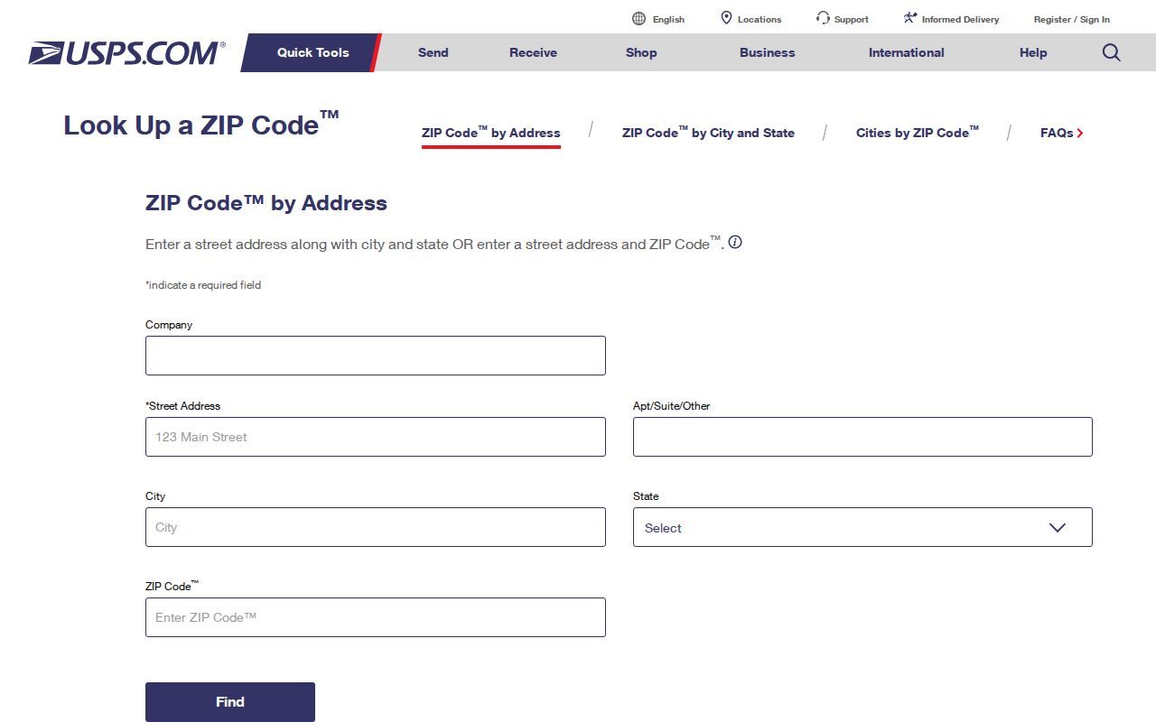
The USPS ZIP Code Lookup is the first check for a known street address. Enter the address as delivered, review the standardized result, and retain the ZIP+4 when shown. That confirms postal routing. Next, use the county or city GIS to test jurisdiction and parcel identity.
The USPS lookup capture provides the source view used for address-level checks in this Mobile County ZIP code directory.
If USPS and an older document disagree, search both spellings and both ZIP forms. A dated deed or directory may preserve an earlier postal label while the current delivery record reflects later routing.
Search Mobile County by ZIP
No verified county portal offers a complete public resident browse by ZIP. The Revenue Commission property search provides owner, address, key number, parcel, neighborhood, and advanced modes, but the research did not confirm a ZIP filter or export in its public interface. GIS data includes a five-character ZIP field, yet a production ZIP filter was not verified. Use ZIP as a narrowing clue, then search the official tool with fields it actually exposes.
- Confirm the delivery address and current postal code with USPS.
- Open the county GIS and locate the address to identify its parcel and jurisdiction.
- Carry the owner name, parcel, or street into the Revenue Commission property search.
- For voter data, use personal My Voter Page verification or order a lawful geographic list from the Secretary of State.
- Ask the correct city, county, or state custodian for a narrowly identified record when no portal field fits.
Once a ZIP narrows the area, the Mobile County street directory explains the address and parcel workflow in more depth. Do not infer every occupant from an assessed owner.
Mobile County GIS ZIP Boundaries
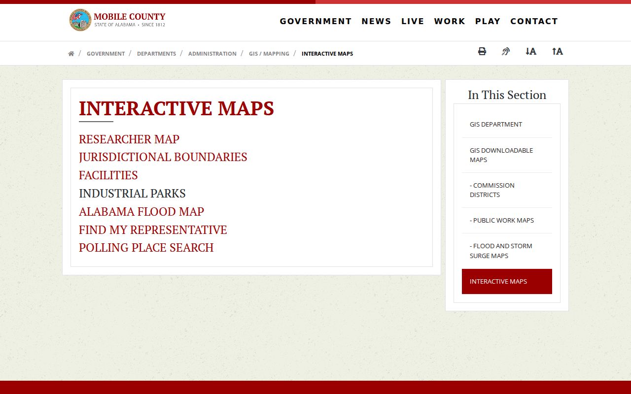
Mobile County interactive maps help distinguish county geography from a postal place name. A parcel map can tie the address to a physical tract, and jurisdiction layers can guide the search toward the correct government office. The research did not verify a public radius tool or a ZIP export, so avoid promising either feature.
The county GIS gateway capture shows the official mapping route used after a postal check.
Carry the parcel key or address from GIS into the property roll. Situs means physical location, while the owner's mailing address is where tax correspondence goes. Those values can differ.
Mobile County ZIP Annexation Effects
Annexation can change the city responsible for local services without changing the ZIP code. Mobile's 2007 annexation added Mobile Terrace, Cadillac Park, and Airport and Schillinger areas in the first major annexation in more than fifty years. Later material names Cottage Hill Corridor and Kings Branch or Orchard Estates in post-2023 annexation activity. Neither event turns a postal code into proof of city limits.
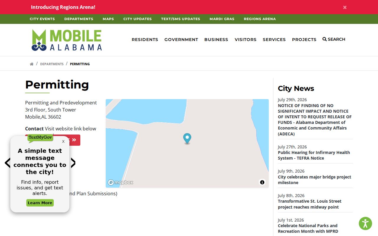
The City of Mobile permitting gateway is one place to begin after jurisdiction is confirmed. Its capture belongs with the ZIP-to-custodian handoff, not with postal verification.
Check the City of Mobile permitting entry for city-side address records.
For an address outside city jurisdiction, use the county or the relevant municipality. A Mobile mailing label alone does not settle the choice.
Mobile County ZIP Area Clues
The county's postal pattern reflects very different record geographies. Core 36602 through 36609 codes cover the central city, south and Bayside areas, the Loop and Bel Air, Crichton, Spring Hill, the university and airport area, and Cottage Hill. The 36610 through 36613 range reaches Prichard, Chickasaw, Plateau, industrial districts, Eight Mile, and Kushla. A Mobile postal label can still sit in another municipality.
South and west county codes include Theodore, Grand Bay, Irvington, Semmes, Wilmer, and far west Mobile. Coastal codes reach Bayou La Batre, Coden, and Dauphin Island. Calvert is a useful warning because its delivery area crosses a county line. Searchers should record the full address, not just the five digits, before choosing a courthouse, permit office, or local archive.
Note: No authoritative single county-to-ZIP roster or documented ZIP split year was found, so every boundary claim needs address-level confirmation.
Mobile County Directory Scale
Countywide numbers explain why one postal search cannot stand for the whole population. Census QuickFacts estimated 411,658 Mobile County residents in 2025, compared with 414,809 in the 2020 Census. The county had an estimated 189,350 residential units and 161,665 households, with 2.50 people per household. Those totals span the urban core, independent cities, north-county communities, west Mobile growth areas, and coastal settlements.
Movement also affects a name-and-ZIP match. QuickFacts reports that 89.1 percent of residents age one or older lived in the same house as one year earlier, which still leaves a meaningful share who did not. A voter address may await an update. A tax mailing address may belong to an owner elsewhere. A directory entry may capture a prior year. Compare dates and source labels before concluding that two ZIP references describe the same person at the same time.
The county's seaport, industrial centers, health institutions, university, rural tracts, and barrier-island communities produce distinct postal patterns. Treat each code as a search zone. Confirm the actual address, parcel, municipality, and record date before joining names across sources.
Mobile County ZIP Record Requests
When the correct jurisdiction is the City of Mobile, its public-record route includes the JustFOIA portal, a printable form, email, in-person or courier delivery, and phone help from the Public Records Coordinator. The form asks for a clear record description, date, custodian or function, and requester contact details. City inspection of routine records is free; published copy and certification charges apply, while nonroutine work can reflect actual labor or technology costs.
Open the City of Mobile JustFOIA request portal to submit and track a request number.
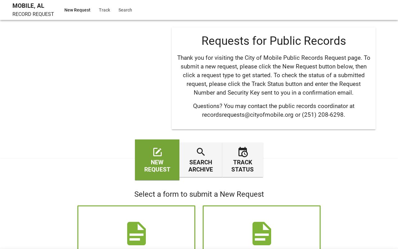
The city also publishes public-record request instructions, shown in the following capture.
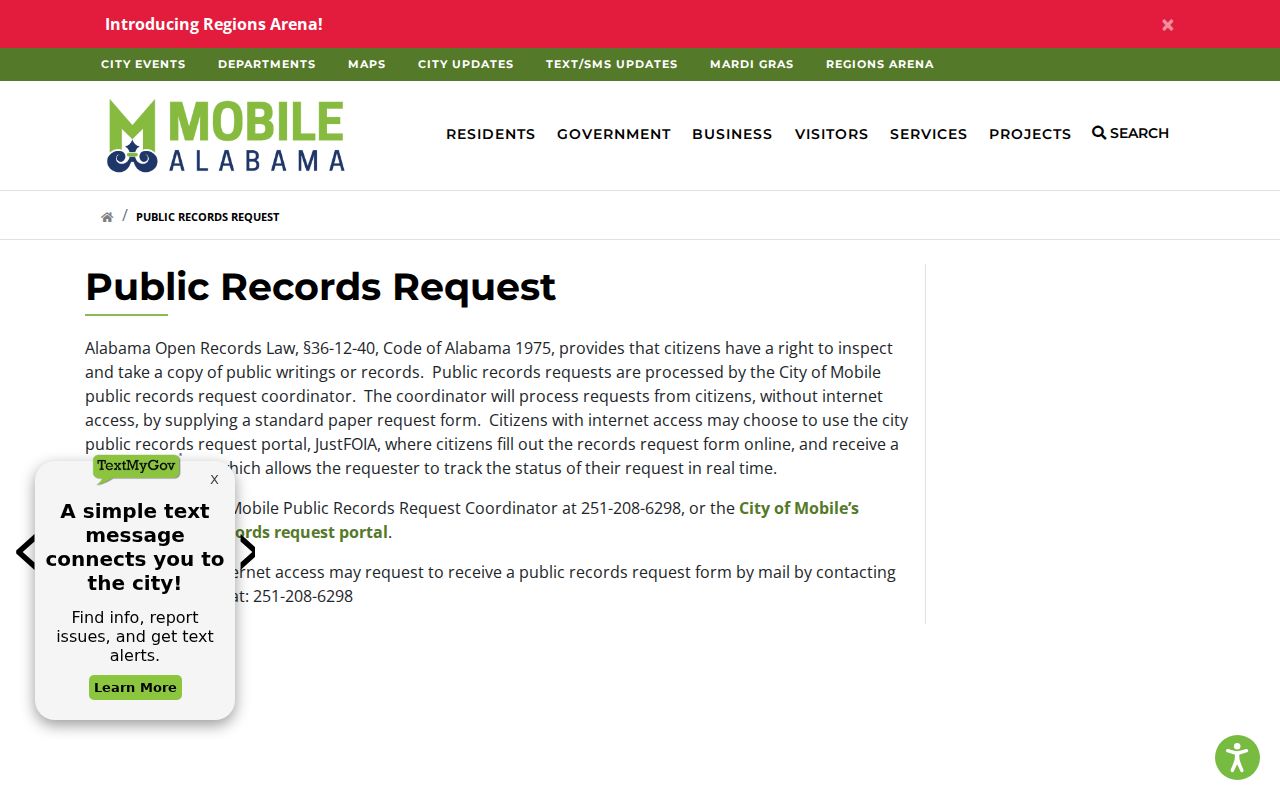
For county records, the February 2026 form asks for the subject or property, city and ZIP, a required date range, requester details, and Alabama residency certification. It may be sent by email or mail or delivered to County Administration. Online indexes remain governed by their own access terms.
Mobile County ZIPs Versus City Lines
The strongest identity for a land record is often the legal description, not a postal code. A legal description names a subdivision, lot and block, or metes-and-bounds tract. It can preserve parcel continuity when street labels, postal areas, or city borders change. Pair it with the situs address and parcel key. The Mobile County ZIP code directory should narrow geography, while those land identifiers anchor the actual property.
Four terms help prevent false matches:
- ZIP and ZIP+4
- The five-digit delivery area and a more precise add-on for a route, block, building, or group of addresses.
- PO-box ZIP
- A code used for post-office boxes rather than a broad set of street addresses.
- Unique ZIP
- A code assigned to a high-volume institution, such as 36688 for the University of South Alabama.
- Carrier route
- The delivery path assigned within postal operations; it is not a municipal boundary.
A ZIP code does not prove residency, city services, a precinct, or ownership. Use USPS for mail, GIS for place, the property roll for assessed ownership, and the correct custodian for the record itself.